Dr. Tiara Moore, founder of Black in Marine Science bravely reveals stories from her life in this profile. Discover what motivates BIMS’ ambitious sustainability plan to secure an equitable future for marine science.

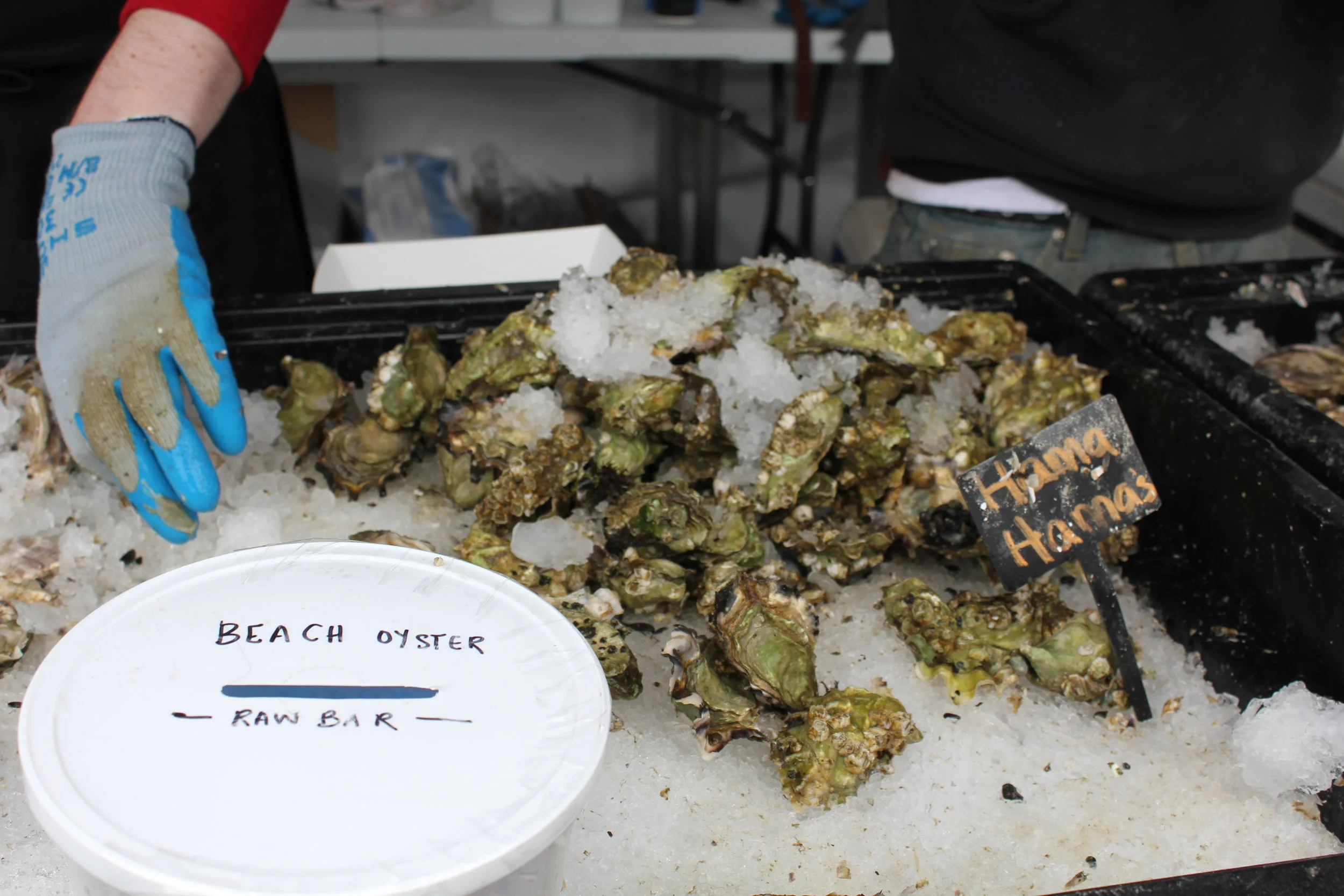
Washington shellfish growers receive funding from the Supporting Oyster Aquaculture and Restoration (SOAR) program’s Shellfish Growers Resiliency Fund, investments in new and more sustainable solutions to common aquaculture practices.
Earth Day was born out of a movement to improve the lives of people and nature, inspiring sweeping legislative action and investments. Today, federal infrastructure funding and WA Climate Commitment Act are a continuation of this movement, investments making a tangible impact locally. As an example, Washington’s historic funding of the Floodplains by Design program is contributing to nature-based floodplain management across the state to reduce flood risk, protect communities and protect salmon habitat. These state and federal dollars are just the start of local climate action that will improve the daily lives and the future of all Washingtonians.
Meet DeAnne Hamilton: Learn how the general manager of Tacoma’s KBTC Public Television and TNC in Washington trustee, uses the power of storytelling to engage people in conservation and create a better future for the next generation.
Nestled in the cliffs in Moses Coulee is an import desert water sources that every springs attracts thousands of Pacific Tree frogs. I came to Whisper Lake for a night concert. It was anything but quiet. The chorus of frogs was soothing, calming—the quintessential sound of spring.
The Cle Elum Wildlife Project is improving our understanding of how wildlife use and move through protected forest landscapes, providing us with an opportunity to test how forest management practices impact wildlife and building an evidence base for permanent protection.
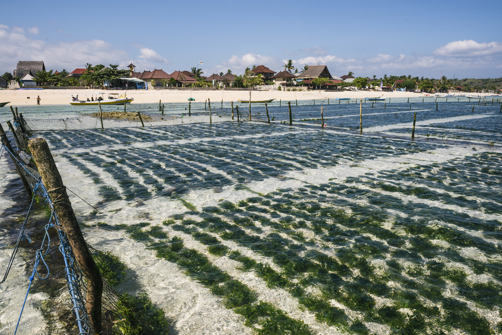
Oyster farming not only provides jobs in rural communities, but oysters themselves provide habitat for marine life and improve environmental quality by filtering water. So, if native oysters were no longer headed to restaurants, could they be purchased and used for restoring coastal habitats? This question led TNC and Pew Charitable Trusts develop the Supporting Oyster Aquaculture and Restoration (SOAR) initiative to purchase native oysters from shellfish growers to support the industry during this difficult time while also supporting local restoration efforts. The goal was to purchase and transfer 5 million native oysters from farm to tidelands on the East Coast and in Washington State.
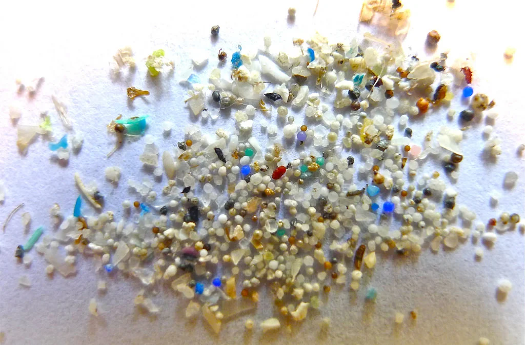
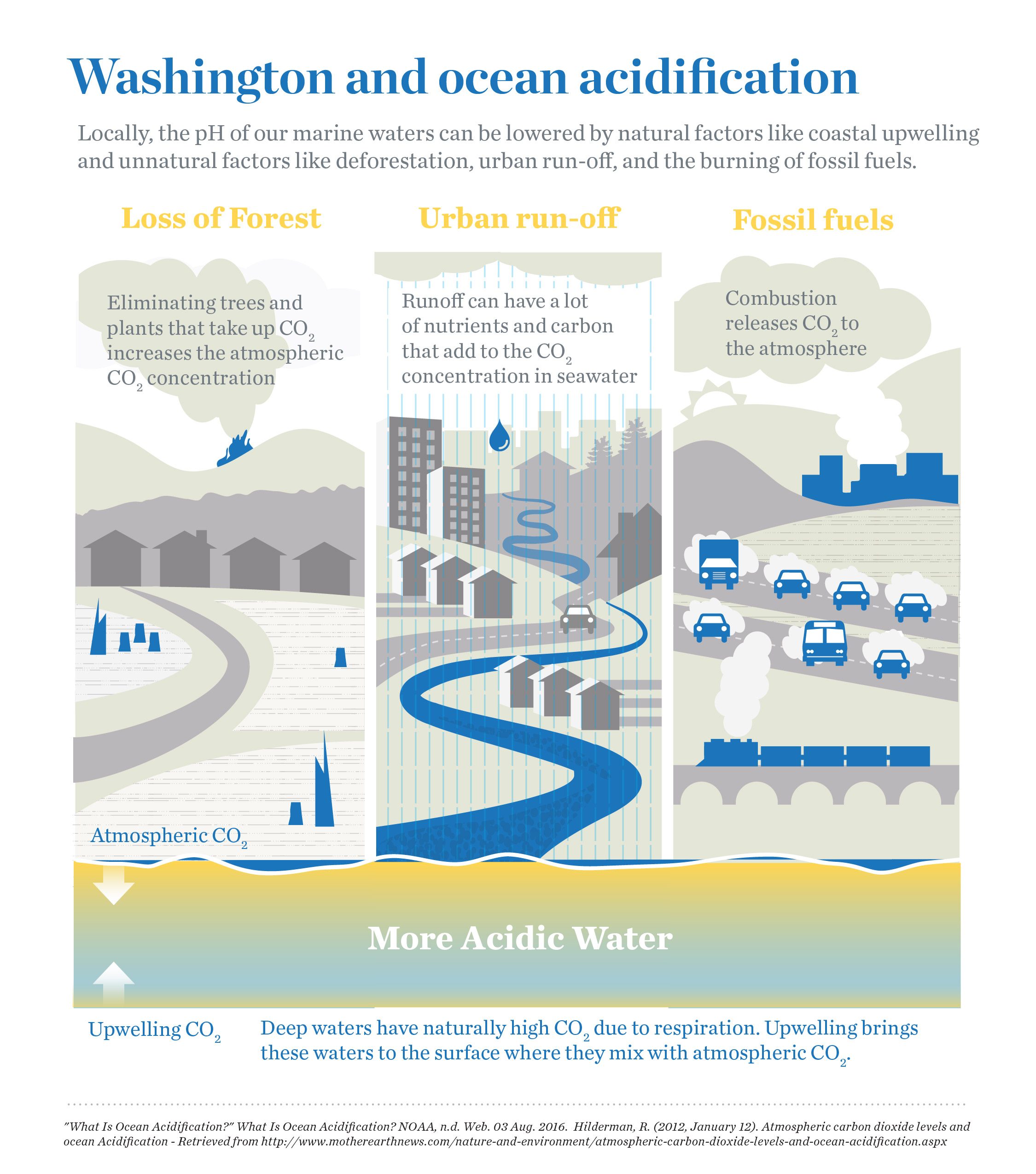
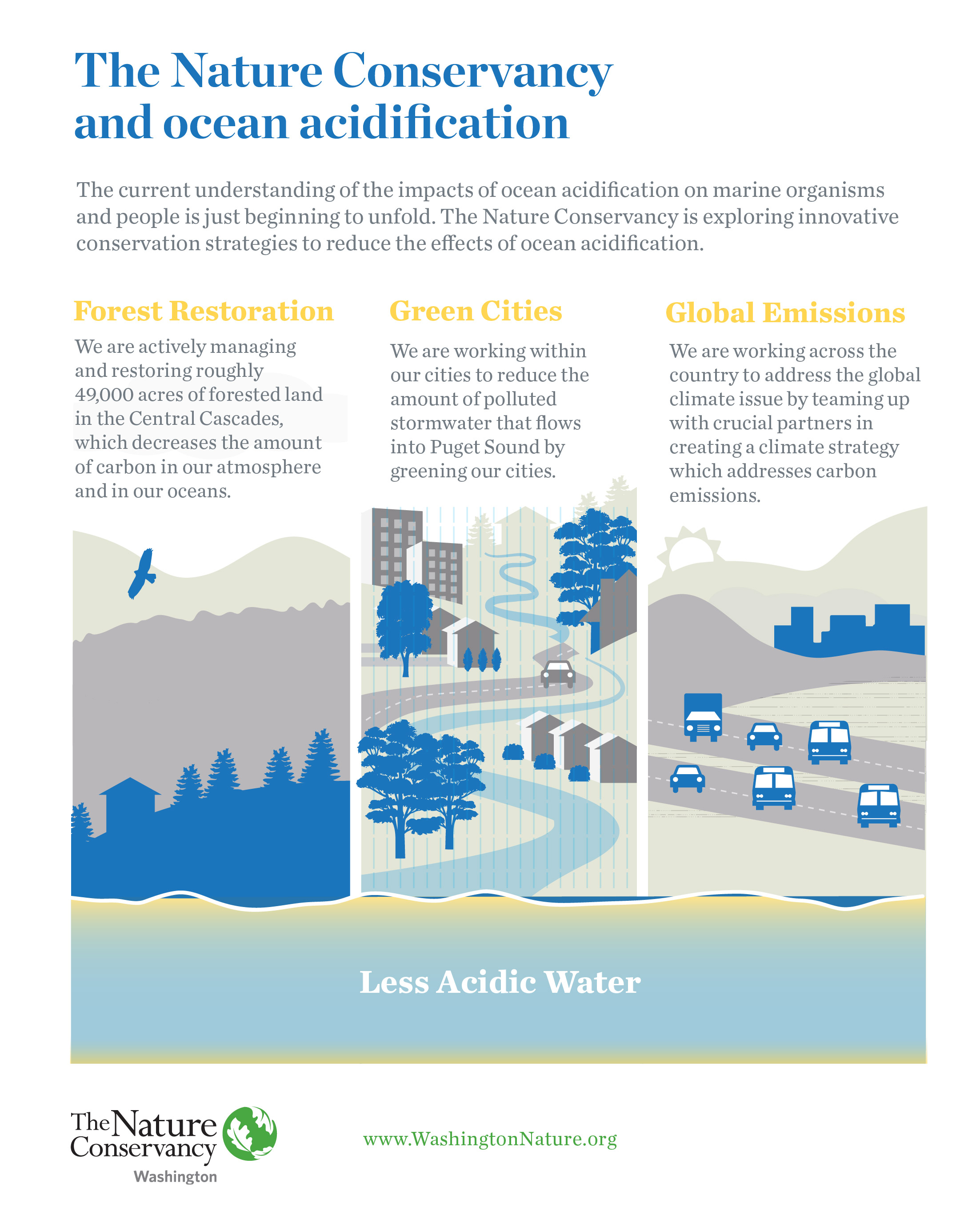
The impacts of climate change will vary from nation to nation, state to state, and city to city. Here in Washington, climate change is expected to increase fire frequency and severity in our forested areas, temperatures will continue to rise, coastal flooding will increase, and our oceans will become more acidic. Learn more about how climate change not only affects our marine environments but also plays an significant role in our local and national economies. Explore the infographic below.

Inforgraphic created by Erica Simek Sloniker, GIS & Visual Communications
Written by Michael Chang
Story Map by Michael Chang (2015-2016 Hershman Marine Policy Fellow, Makah Tribe/The Nature Conservancy), Erica Simek Sloniker (GIS & Visual Communications), and Laura Nelson (2014-2015 Hershman Marine Policy Fellow, Makah Tribe/The Nature Conservancy)
The Salish Sea, a body of water between British Columbia and Washington State that includes the Strait of Georgia, the Strait of Juan de Fuca, and Puget Sound, is a region that supports the livelihoods of millions of people. Communities, tribes, and First Nations are intimately dependent on these waters for food, culture, recreation, and industry.
Every year, about 10,000 cargo ships carry hundreds of thousands of gallons of oil through the Salish Sea, creating a constant risk of oil spills in the region that could harm community and tribal livelihoods. However, an intricate network of experts from the Coast Guard, U.S. tribes, Canadian First Nations, state & federal agencies, regional non-profits, and local communities have prevented a major oil spill from occurring in over 20 years.
Recently, there have been several new proposals and developments for oil terminals that will increase the oil shipping volume by twofold. To ensure that the Salish Sea can adapt to the doubling of vessels and oil, the Makah Tribe and TNC have partnered together to organize a trans-boundary vessel safety summit in order to improve the U.S. and Canadian coordination for oil response, prevention, and preparedness.
The Nature Conservancy and Makah have created an interactive story map detailing the vessel safety system and what needs to be done to accommodate the expected increase in vessel traffic.
Audio provided by KOMO News Radio
It's an incredible season for king tides, these unusually high tides are caused by the gravitational pull of the Sun and Moon along with El Nino and The Blob. Our Senior Marine Ecologist Jodie Toft explained the science and dangers of king tides and where you can check them out with KOMO News Radio. Listen in above!
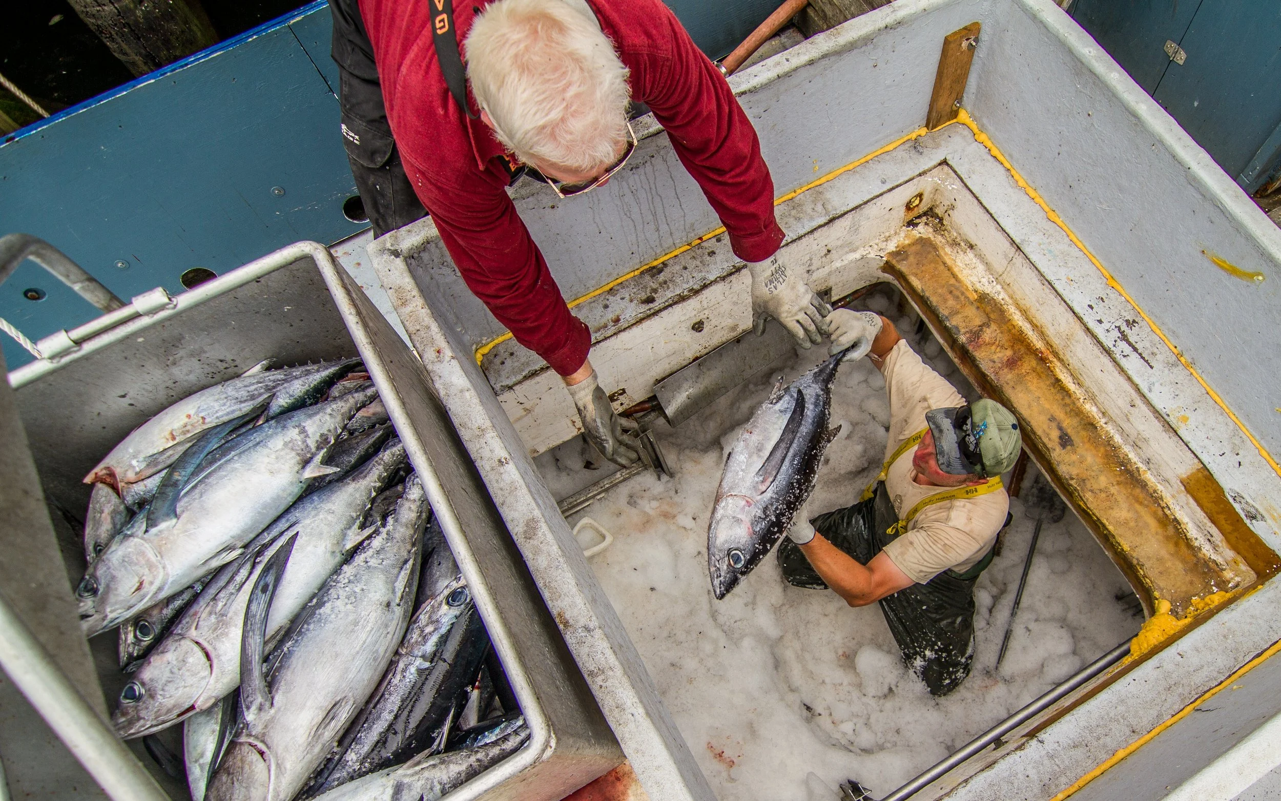
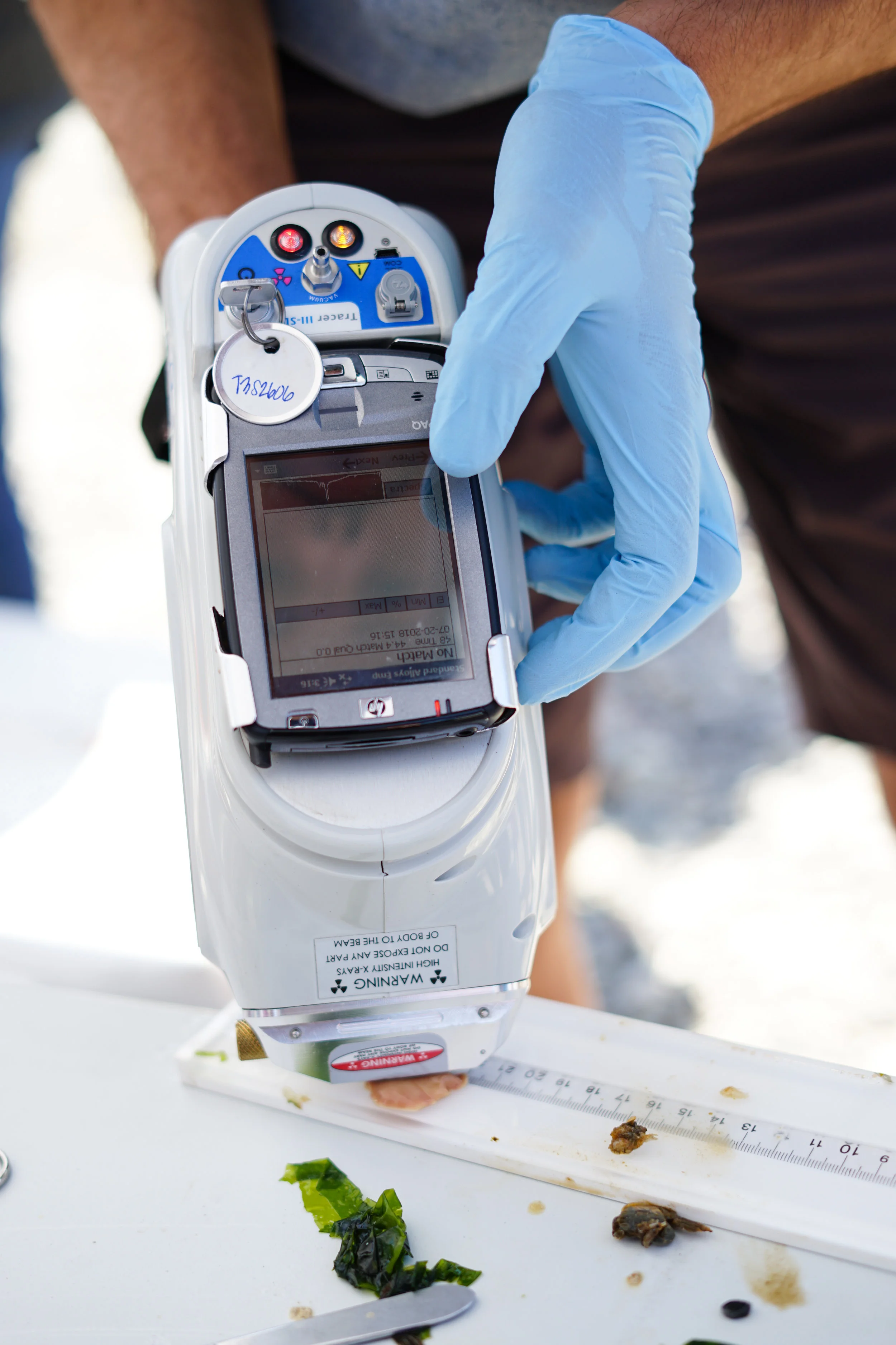
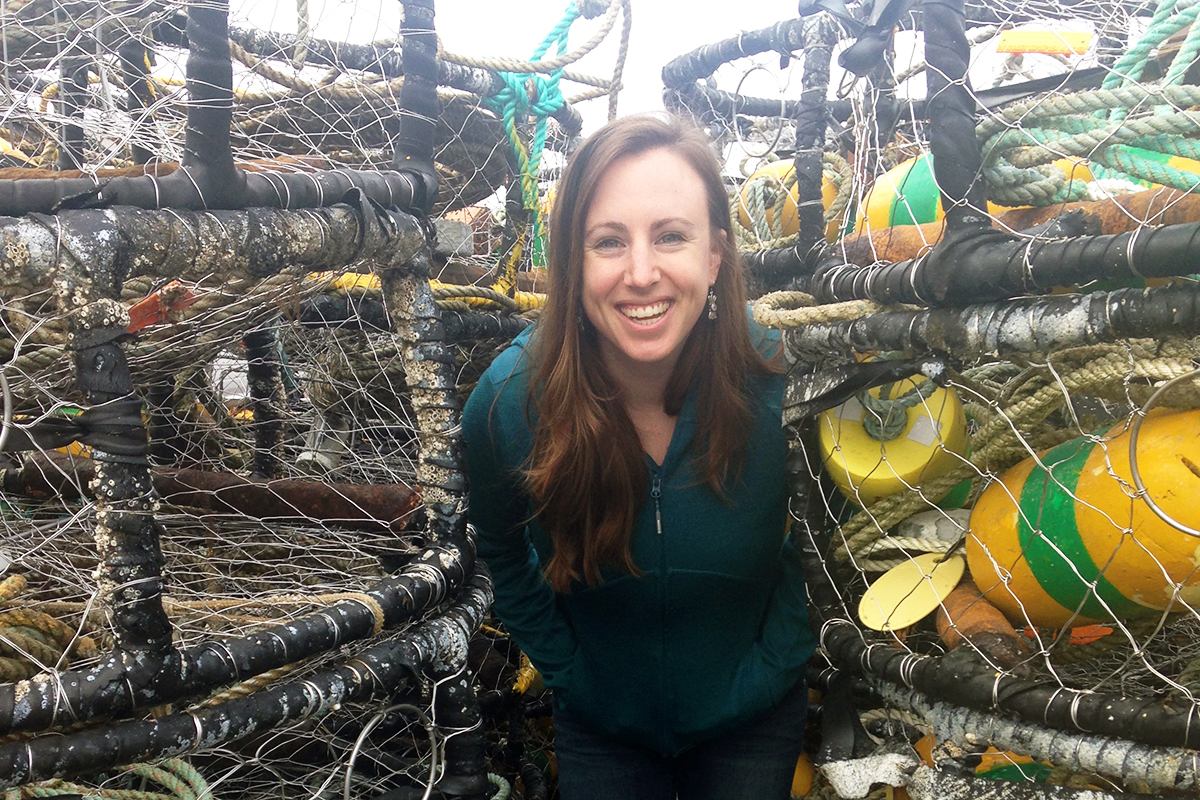
Written and Photographed by Molly Bogeberg, Hershman Marine Policy Fellow and Kara Cardinal, Marine Projects Manager
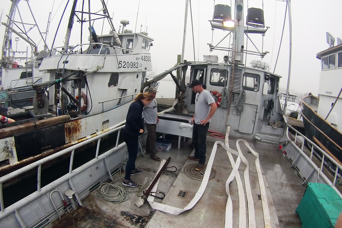
Kara Cardinal and I woke up early to walk the docks in Westport and catch Quinault Indian Nation fisherman (Tony) and Natural Resource Consultants (NRC) staff (Jeff Cox) before they left Westport in search of lost and abandoned crab pots to pluck from the seafloor. The Nature Conservancy has partnered with the Quinault, NRC, and NOAA to use a specially designed line cutter and hydraulic pump to remove crab pots that have been buried deep in the sand or caught in-between rocks.
Jeff demonstrated how the specially designed crab pot line cutters work. It was amazing to see how the white tubing pumps water into the sandy seafloor to help remove buried crab pots. These derelict crab pots are a menace because they can continue to catch crab, impede other fishing practices, and entangle marine mammals. The hope is that by removing these lost pots, the waters close to Westport and the Quinault Nation will be safer for boaters and marine organisms alike.
Learn more about our marine work here.