Our Director of Strategic Partnerships, Bob Carey, shares a moment of solitude and deep appreciation for salmon on the upper Skagit River.

Washington shellfish growers receive funding from the Supporting Oyster Aquaculture and Restoration (SOAR) program’s Shellfish Growers Resiliency Fund, investments in new and more sustainable solutions to common aquaculture practices.
Earth Day was born out of a movement to improve the lives of people and nature, inspiring sweeping legislative action and investments. Today, federal infrastructure funding and WA Climate Commitment Act are a continuation of this movement, investments making a tangible impact locally. As an example, Washington’s historic funding of the Floodplains by Design program is contributing to nature-based floodplain management across the state to reduce flood risk, protect communities and protect salmon habitat. These state and federal dollars are just the start of local climate action that will improve the daily lives and the future of all Washingtonians.
Meet DeAnne Hamilton: Learn how the general manager of Tacoma’s KBTC Public Television and TNC in Washington trustee, uses the power of storytelling to engage people in conservation and create a better future for the next generation.
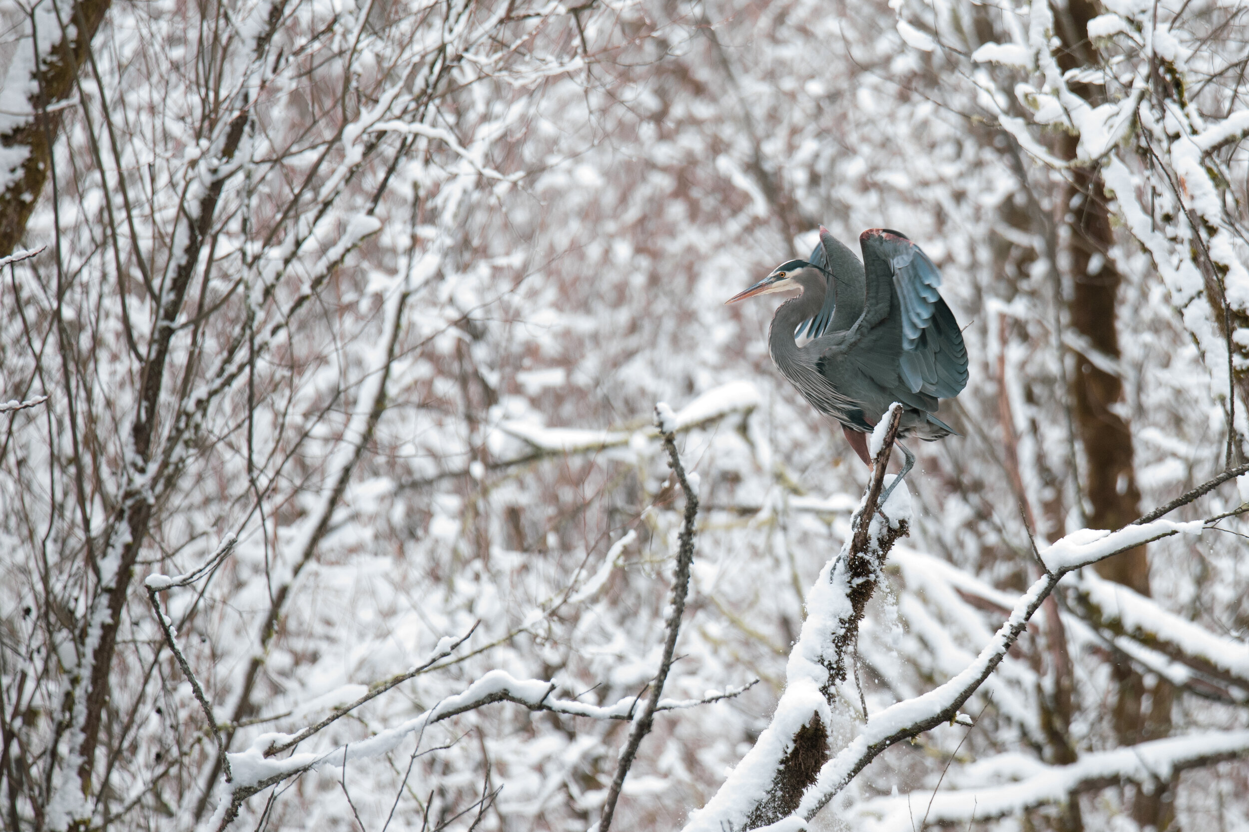
Nestled in the cliffs in Moses Coulee is an import desert water sources that every springs attracts thousands of Pacific Tree frogs. I came to Whisper Lake for a night concert. It was anything but quiet. The chorus of frogs was soothing, calming—the quintessential sound of spring.
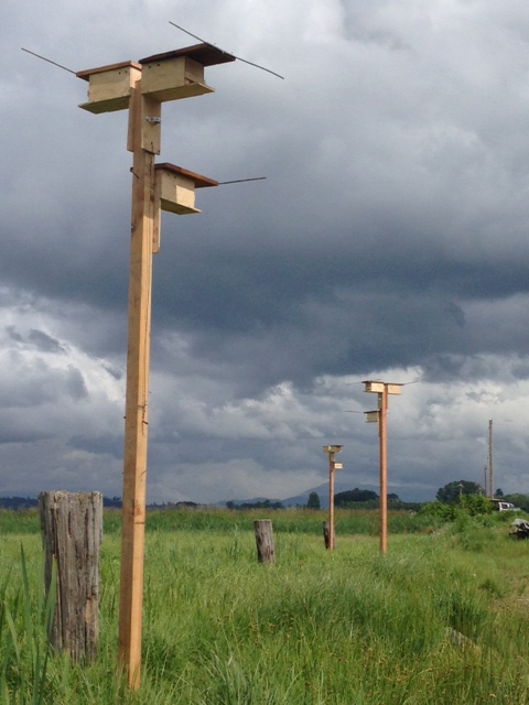
The Cle Elum Wildlife Project is improving our understanding of how wildlife use and move through protected forest landscapes, providing us with an opportunity to test how forest management practices impact wildlife and building an evidence base for permanent protection.
Written by Jenny Baker
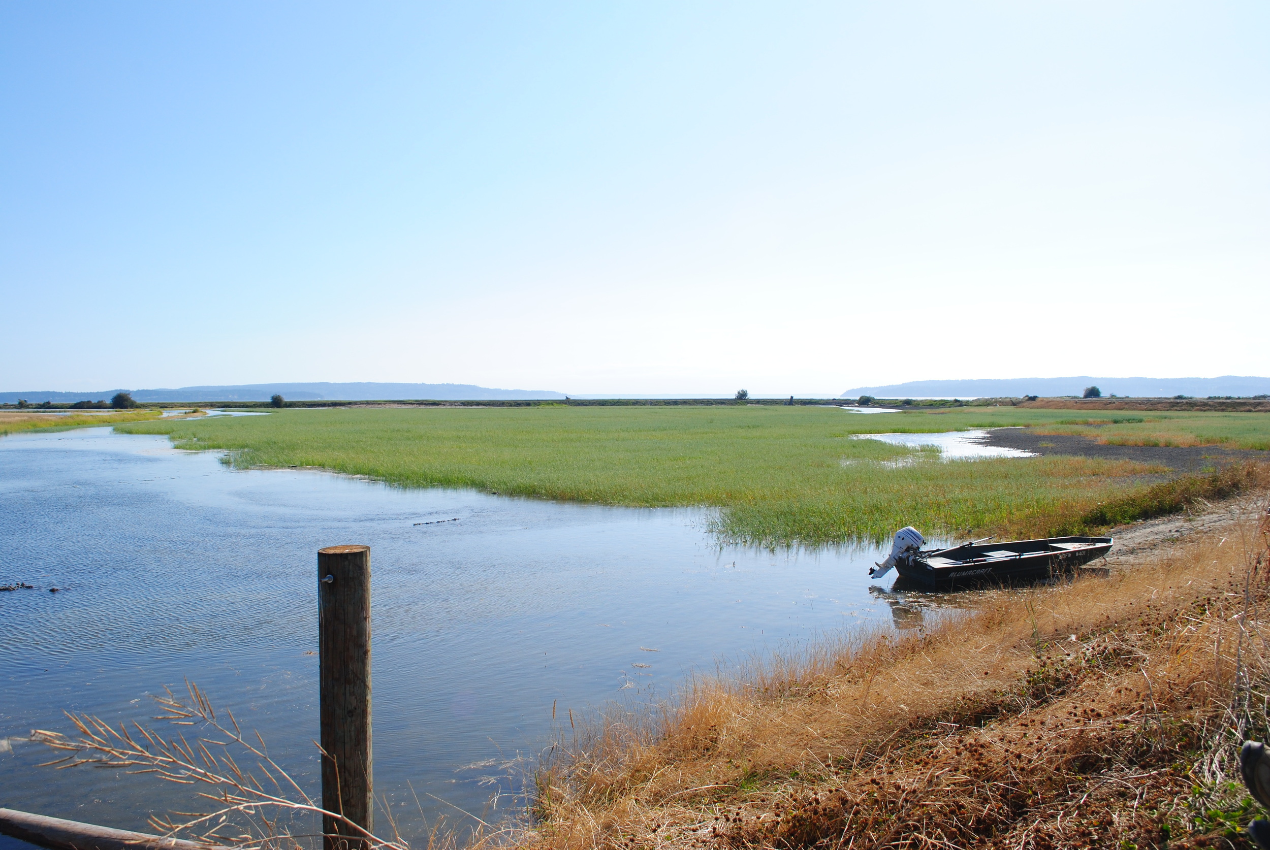
Senior restoration manager for The Nature Conservancy in Washington, based in Mount Vernon
Most of my time is spent on projects where I see both river and tidal processes at work moving sediment toward what I call the "big pond" of Puget Sound. When moving water gets close to that big pond, the sediment settles out in the lowest parts of river channels and out across marshes and beaches.
We've had several major storms this winter that have given me a glimpse of how sediment movement will change with climate change — it is estimated that bigger and more frequent floods in the Skagit River could carry three to six times more sediment toward Puget Sound. At the same time, sea-level rise will move the edge of Puget Sound — and the zone where sediment settles — farther up river channels.
And we may already be seeing this in the Skagit Valley. Eric Grossman, a scientist from the U.S. Geological Survey, has looked at how the river bed has changed over the last 35 years. He found that a lot of sediment has settled and the river bed has gotten shallower. Below is a graph showing that the depth of the river bed at a location near Mount Vernon has gotten shallower by almost 10 feet between 1975 and 2012 (the lower portions of the graph is the river bed).

From Eric Grossman / USGS
This has ramifications for how much room there is for water to flow through the river channel and out into Puget Sound — sediment deposited farther upriver means less room for floodwater before it spills out into homes, businesses and farms. And sea-level rise adds to the impacts communities experience as higher tides back the rivers up into shallower channels. Dikes and levees along rivers were built for historic sea levels and river flows. But we're seeing already water spilling over dikes close to Puget Sound. Below is a photo of a dike on Fir Island during a storm in March.

Photo by Curran Cosgrove / Washington Department of Fish & Wildlife
Most might not think about changes in sediment being associated climate-change impacts, such as flooding. But as I am learning, changes in the amount of sediment that comes down rivers and settles out can be a major contributor to climate-change impacts in communities located near lowland rivers. Expect to hear more about sediment and climate change impacts in the future.
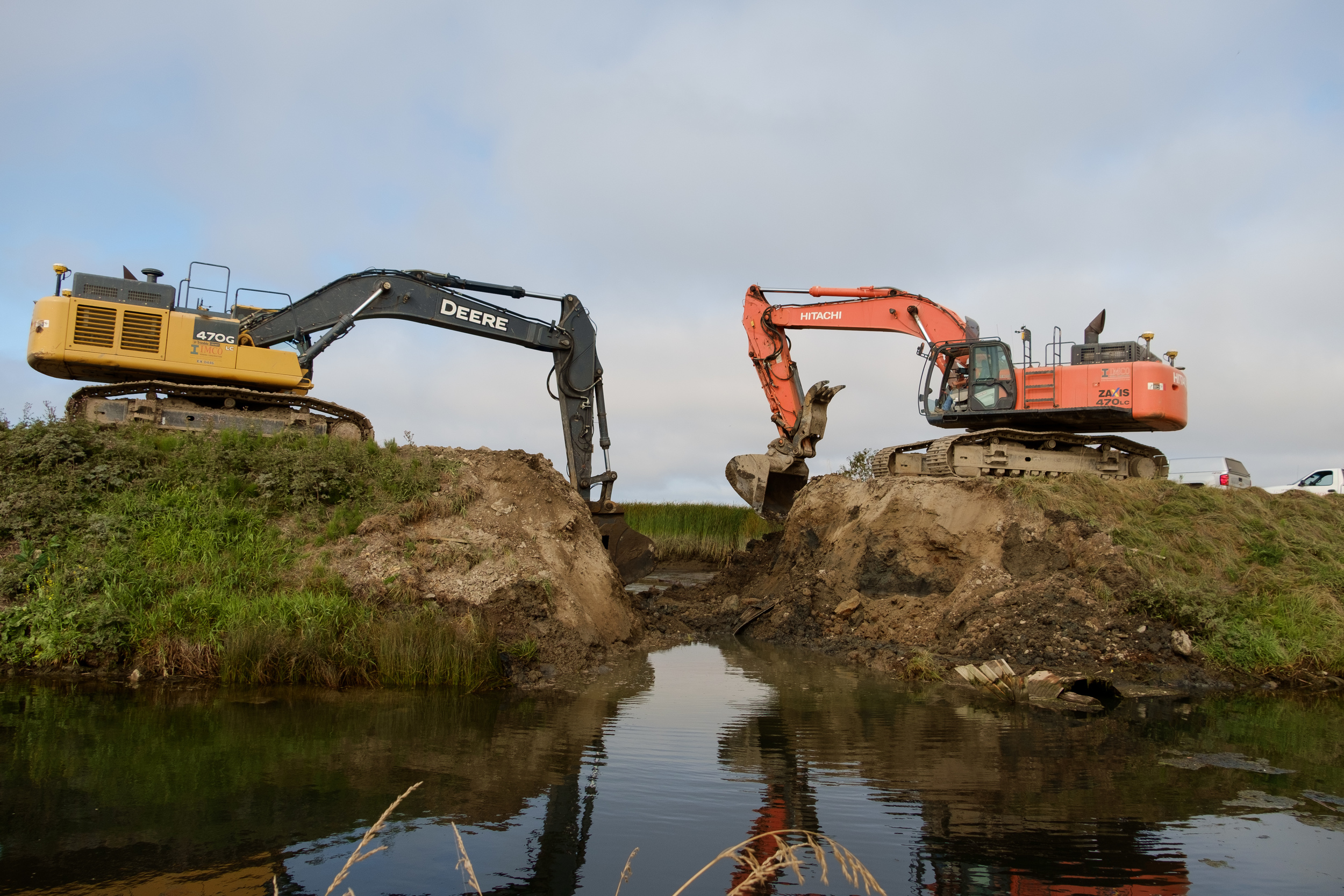
Excavators began work early in the morning on an outgoing tide breaching the old dike.
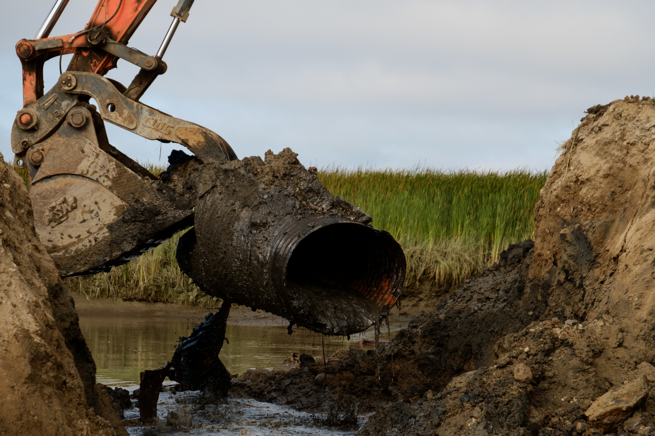
Old tidegate infrastructure is removed from the dike at the breach site.
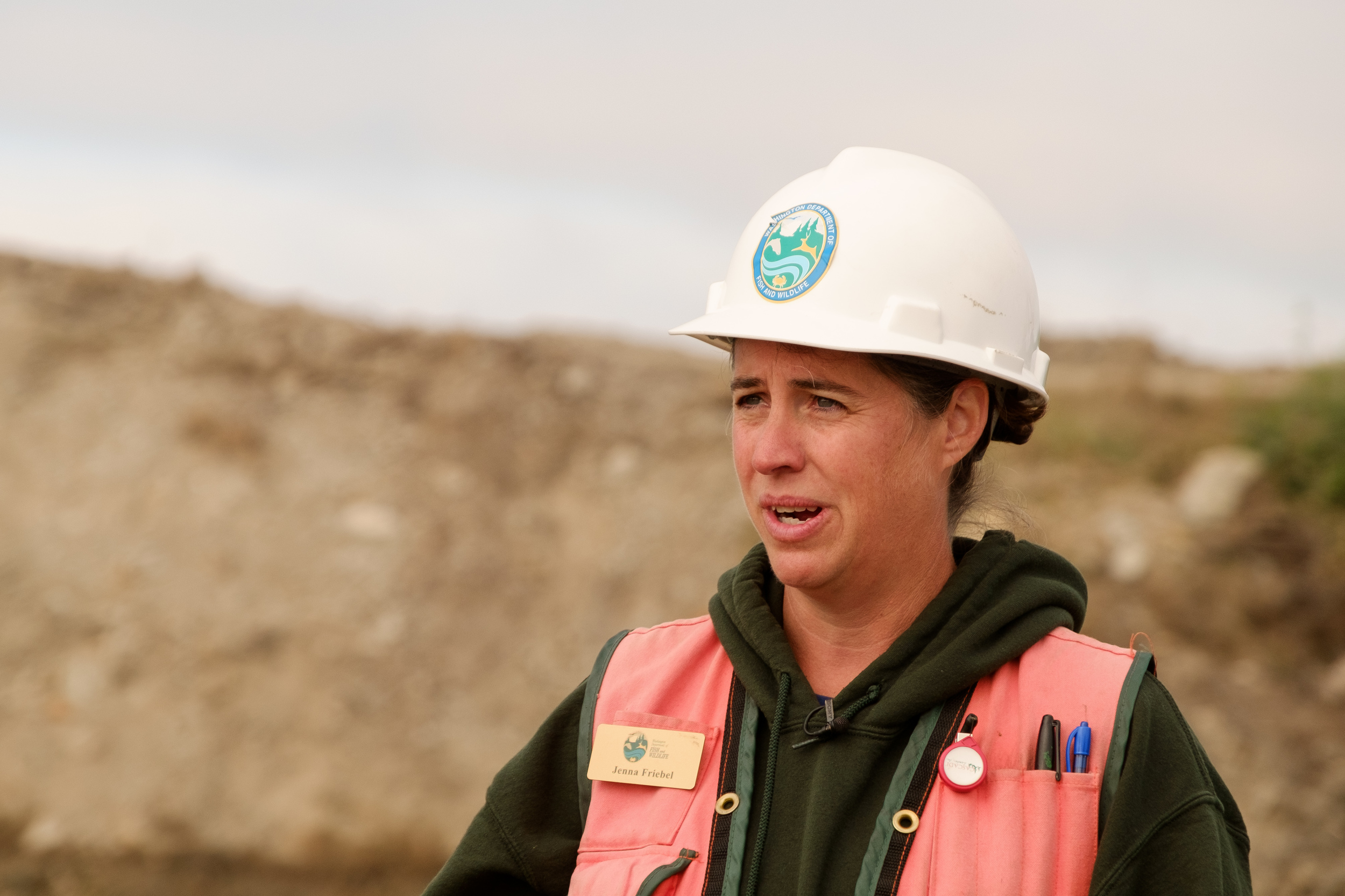
Jenna Friebel: Washington Department of Fish and Wildlife Project Manager.
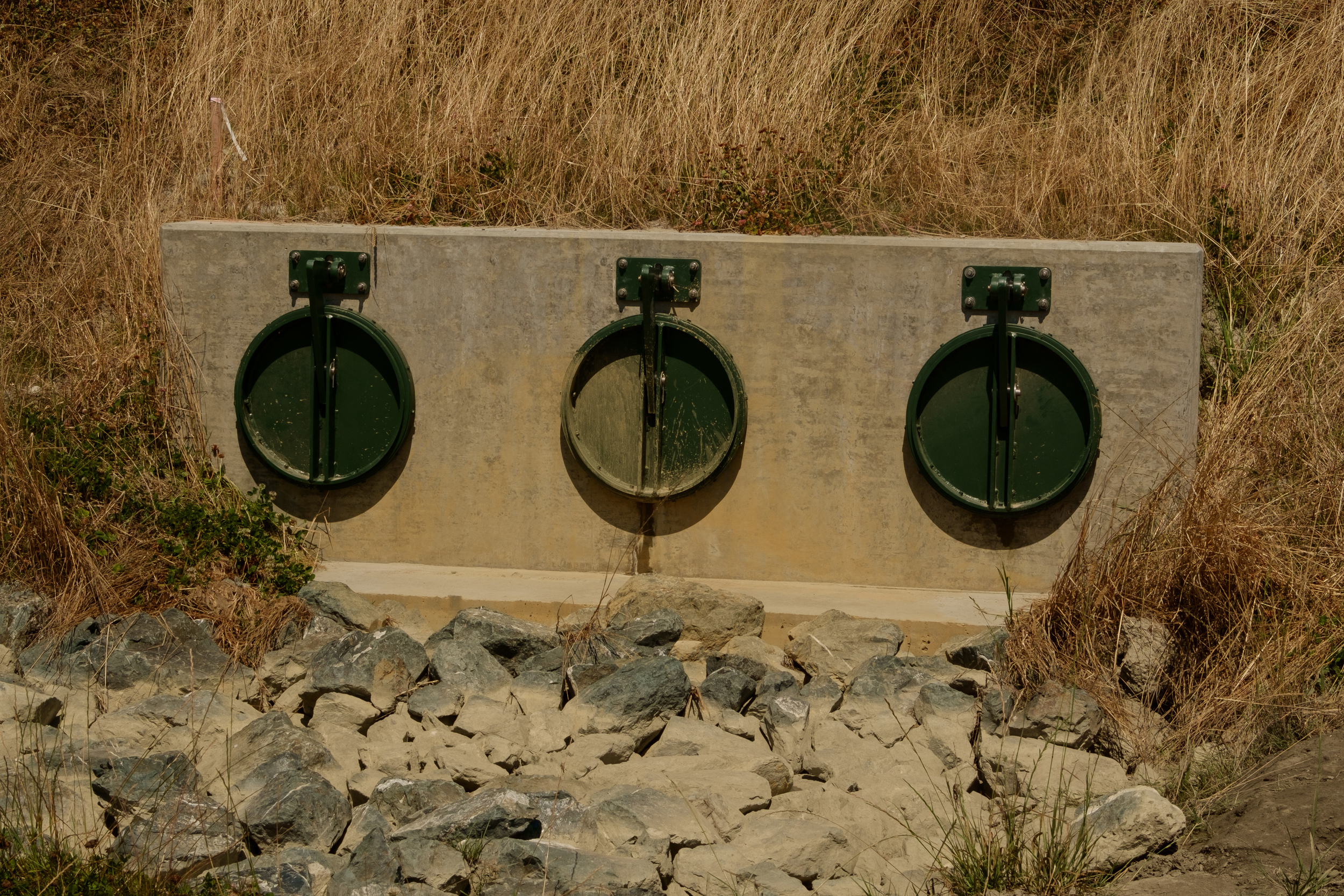
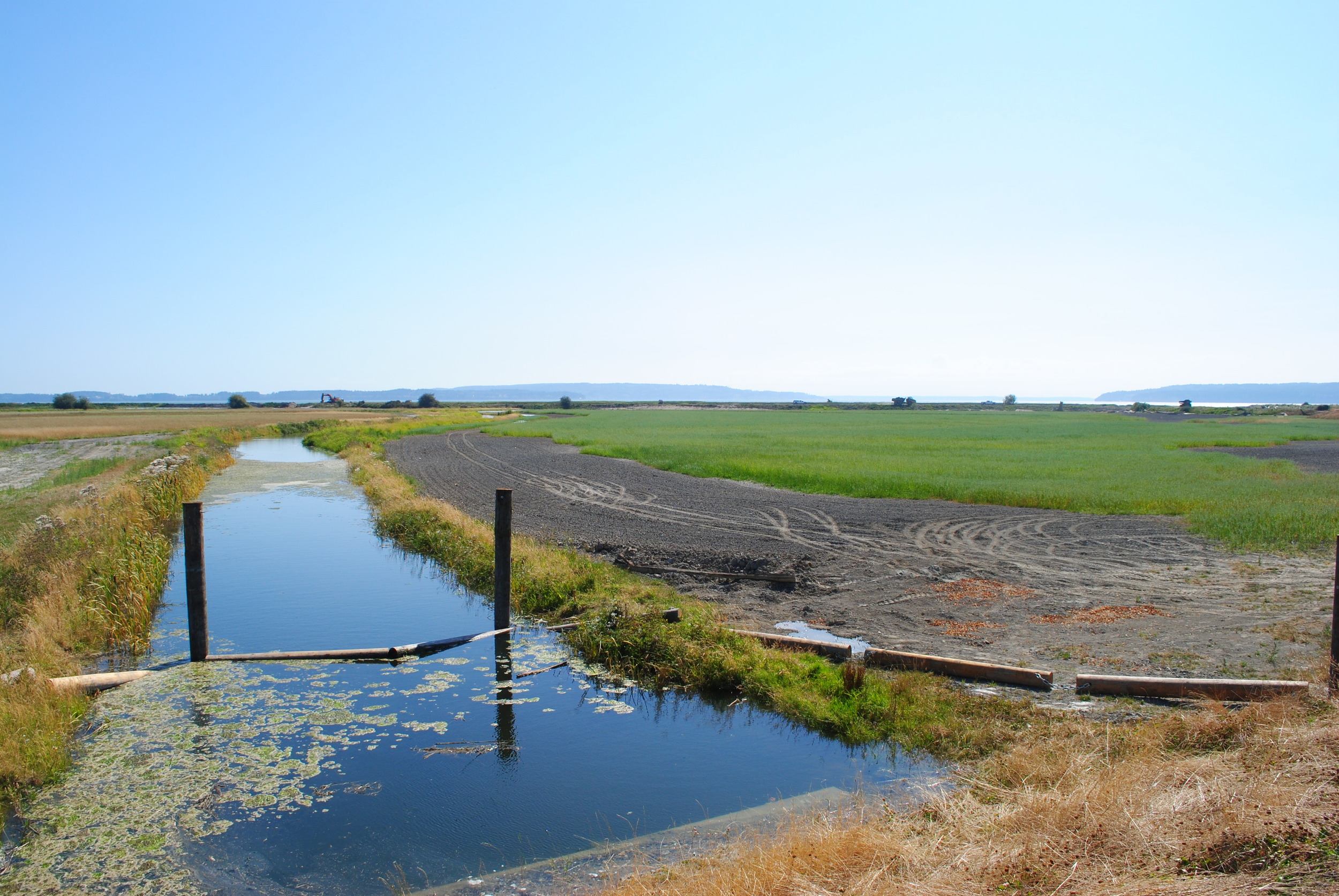
New tidegates and a pump house were installed with the new dike, improving drainage capacity for adjacent farmers.
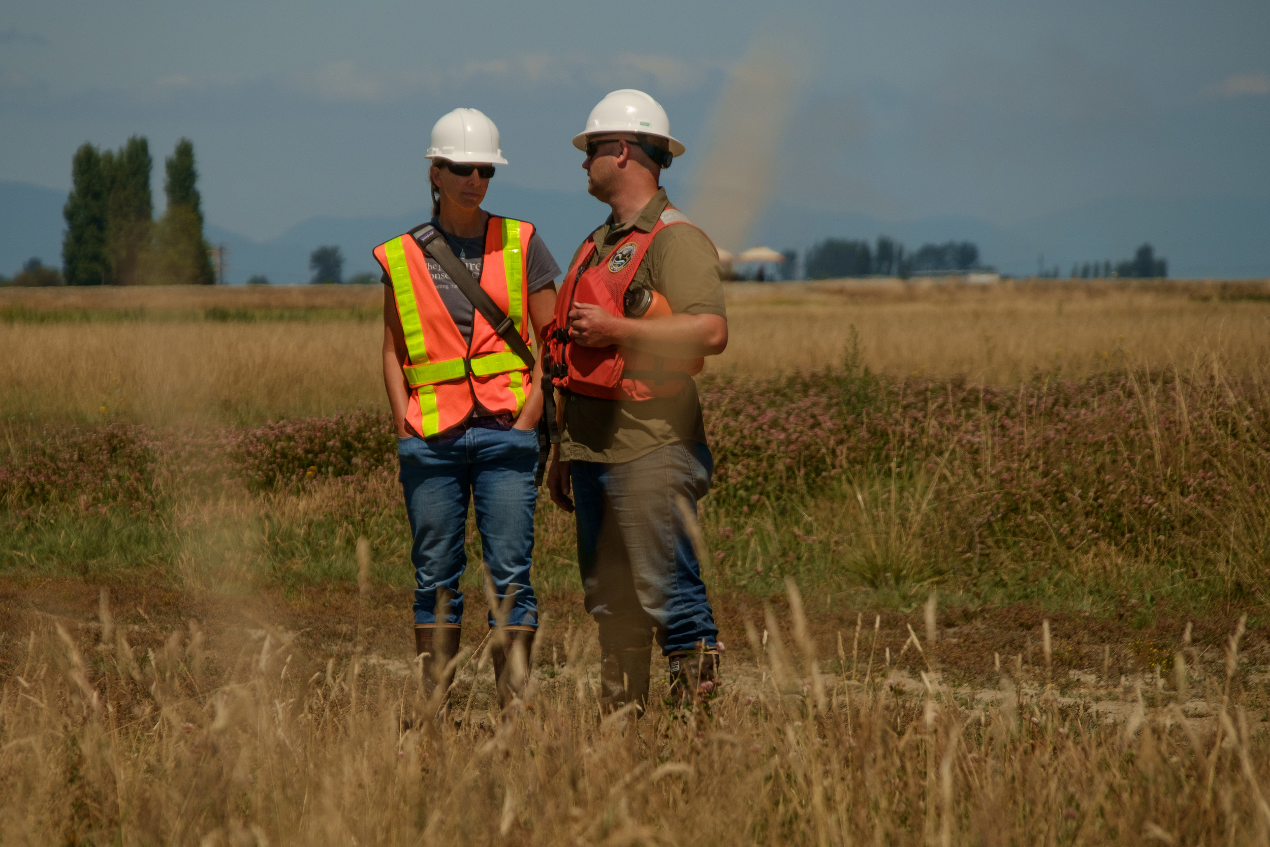
TNC's Senior Restoration Manager, Jenny Baker and WDFW's District Biologist, Andrew Fowler, waiting for the tide to come in.
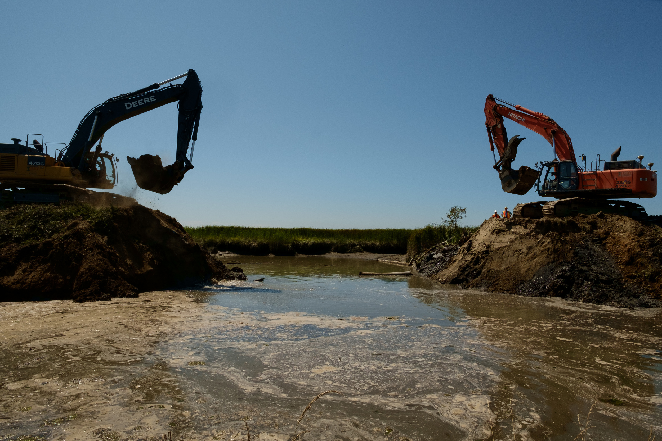
Excavators continue to work widening the breach site as the tide flows in.
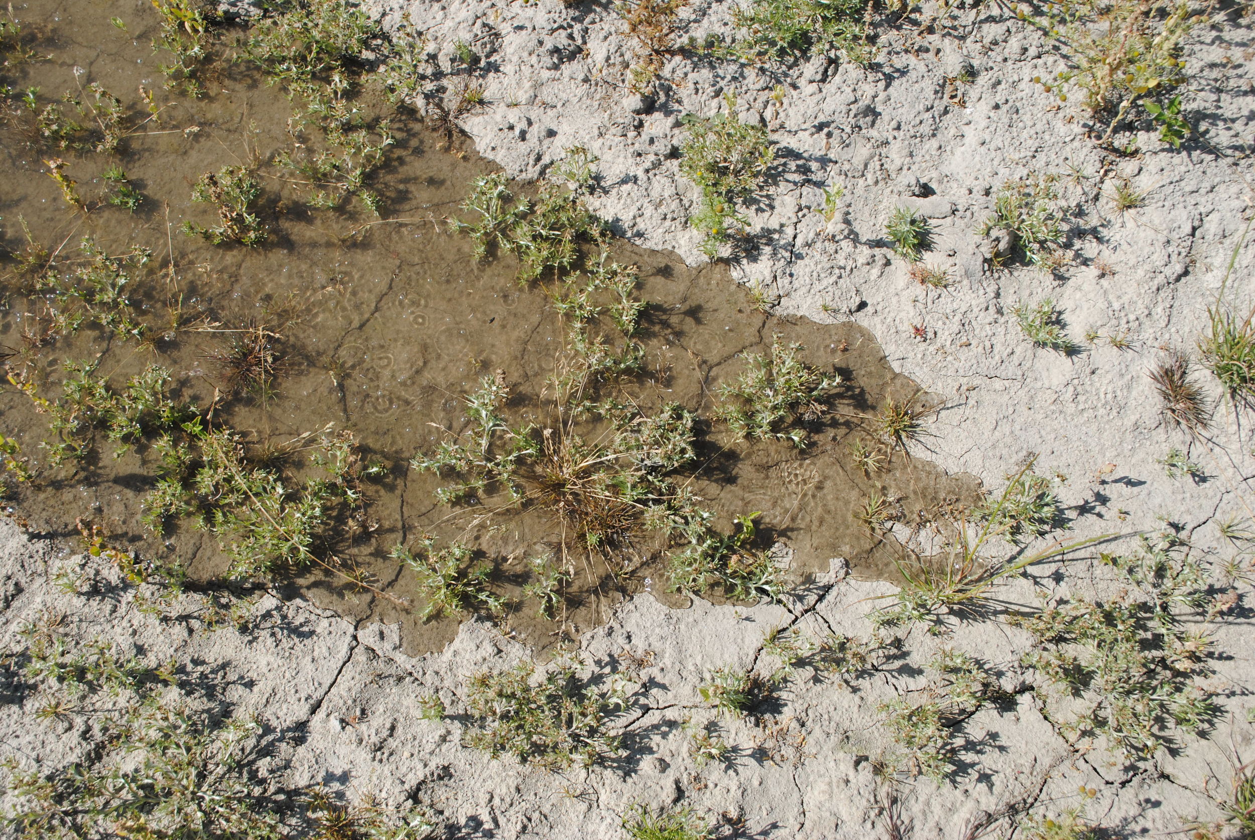
Nearing high tide, water begins to percolate up through the dry soil.
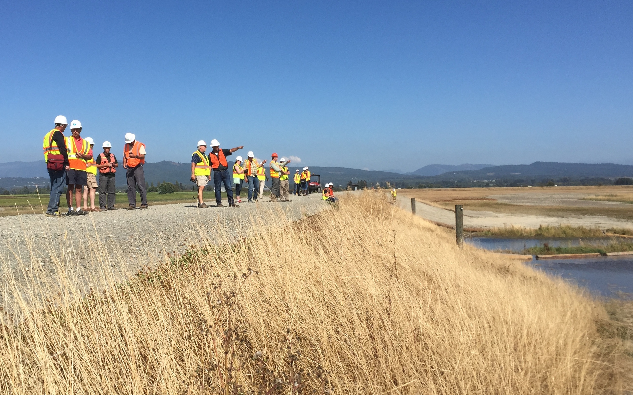
Project partners gather on the new dike to watch the incoming tide.


Written & photographed by Julie Morse, Regional Ecologist
For thousands of years it was an estuary. Then for 100 years it was farmland. Now, it’s estuary again.
More or less halfway between the mouths of the North Fork and the South Fork of the Skagit River, Fir Island Farm sits on the edge of Puget Sound with stunning views of Mount Baker. For the last 100 years it has produced potatoes, corn, wheat and other crops and drawn visitors from far away every winter to see the flocks of thousands of Snow Geese that congregate here in the winter
The Skagit River itself defines this place. It’s the largest river entering Puget Sound, fed by the glaciers of Mount Baker and the North Cascade peaks it supports all five species of Pacific Salmon. For Skagit’s Chinook Salmon, a threatened species protected under the Endangered Species Act, estuary habitat at the mouth of the river is a limiting factor in their recovery. Tidal marsh habitat here is a quarter of what it was historically. The Fir Island Farm restoration of 131 acres alone is projected to increase smolt production by at least 65,000 every year.
From a farmer’s perspective, it’s always painful to see farmland lost, whether it’s for salmon restoration or development of a new sub-division in rural areas – the impact on their bottom line is the same. Farmer’s need a critical landmass to maintain a viable economy, and particularly in the Skagit -located halfway between Seattle to the South and Vancouver to the North, development pressure in recent years has encroached from all directions. Add the importance of the Skagit estuary for salmon recovery projects, and combined the pressures on this prime lands are enormous.
And yet, local farming groups support the Fir Island Farm restoration because the project design includes critical improvements to their infrastructure. A state-of-art pump house and new setback dike will provide improved drainage capacity and flood protection for future sea level rise and storm surge conditions thus serving as a model for much of Western Washington. This project is also supported because it enables the local diking districts’ to make repairs and do maintenance on their flood and drainage systems. It also prioritizes restoration of state owned public lands, rather than private farmland.
The Fir Island Farm restoration project is a model of TNC’s approach to conservation and restoration in the complex and populated landscapes of Puget Sound. Not only does the project design include drainage and flood improvements for local farmers, it also retains a portion of farmland to manage for Snow Geese. The project design accommodates future sea level rise and is designed to protect the adjacent lands from coastal storm surge, is a model for adapting to climate change. Designing and implementing complex multiple benefit projects like this is no small feat; and our hats go off to WDFW’s Project Manager Jenna Friebel and her team.
Monday afternoon as we stood on the new dike and watched the first flood tide in 100 years return to Fir Island Farm, I think all of us TNC staff felt somewhat in awe, and incredibly humbled. Humbled to be alongside such a large group of partners - all who have had some piece in making the project happen. And in awe of how dynamic this place is. What we witness today is just a snapshot in time; it’s a work in progress.
Now it’s time for Mother Nature to take over. To start excavating new channels and bringing in large wood to create habitat complexity for salmon fry, to restore sediment flow that will create rich muddy intertidal stopover sites for migratory shorebirds, and continue restoring this incredible piece of the Skagit estuary.