Writing and graphics by Erica Simek Sloniker, Cartographer and Visual Communications
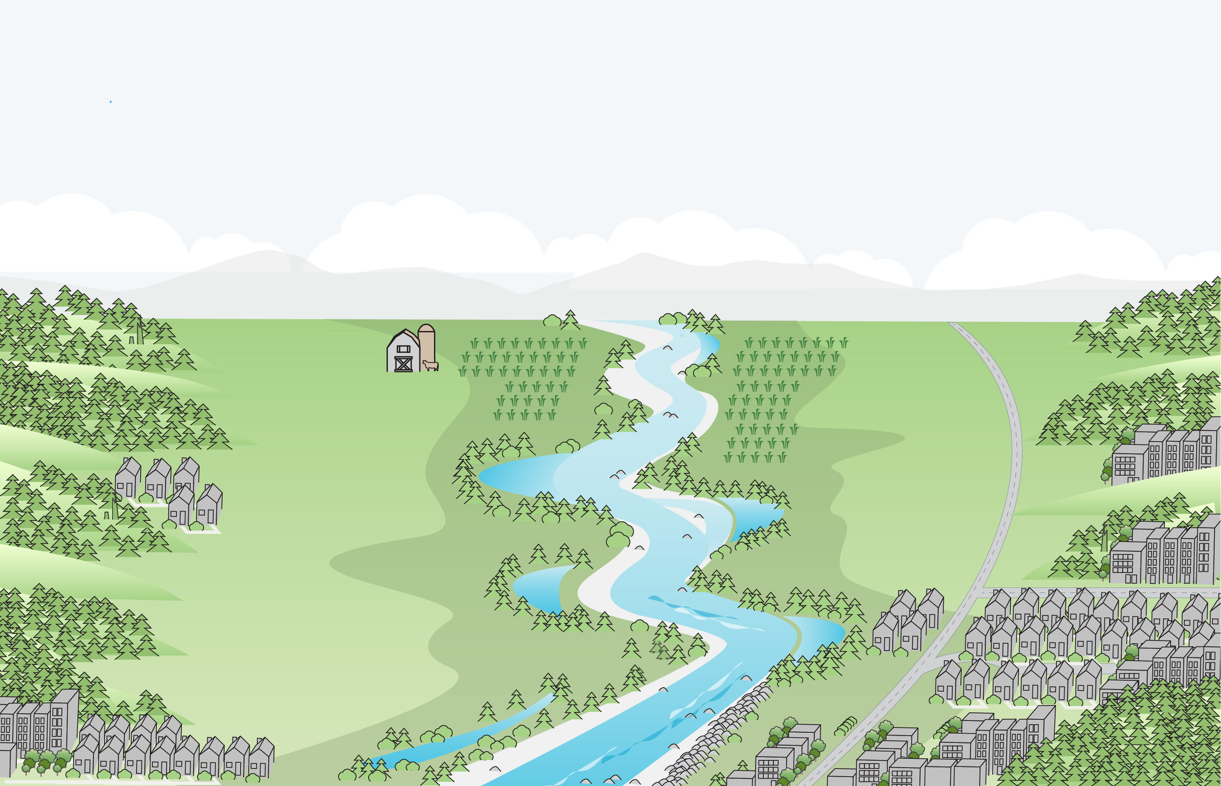
When you get a chance, find a scenic, open view of the landscape. What do you see? Rolling hills, deep valleys, wide floodplains, a steep slope, tall mountains?
The study of the shape of the surface of the land, with all its ups and downs, is known as topography. The word topography derives from the greek “topo,” meaning place, and “graphia,” meaning to write or to record. Maps that represent topography are known as topographic maps. You may have used one recently on a hiking or backpacking trip.
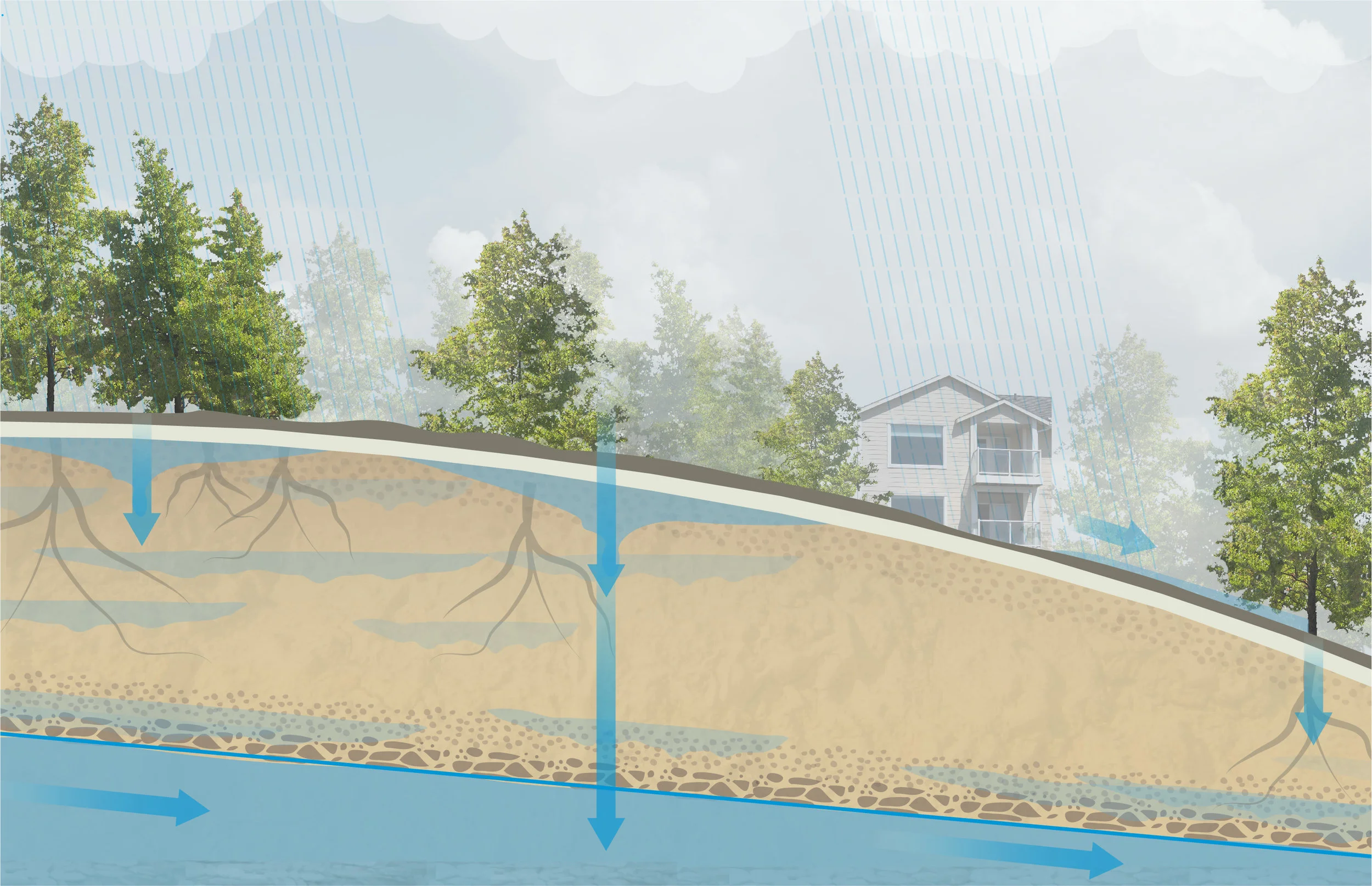
Topographic maps are good at showing elevation. Elevation can be measured in a variety of ways, including using surveying methods from above the Earth’s surface that illuminate a target on the landscape using a pulsed laser light. This light is measured and recorded as it’s reflected onto a sensor. Elevation in topographic maps is shown through 3D relief mapping, showing the difference in height from the surrounding terrain. Elevation lines on a topographic map joining points of similar height above or below sea level are known as contour lines.
The Two-Minute Takeaway
A quick explanation of scientific terms and concepts we use regularly in conservation
Topographic maps are useful to conserving nature because they help us understand where steep slopes could lead to landslides, affecting water quality for salmon, or where low-lying areas may lead to flooding in nearby communities or where forest restoration should occur with consideration to elevation, slope and aspect (the direction a slope faces) of a forest stand.
Next time you are out hiking, take a topographic map along and explore nature in a whole new way! And before you go, learn more about how to accurately read a topographic map.