By Jenny Baker, Senior Restoration Manager
A launching toe is a thick band of rock placed near the bottom, or toe, of a levee. If the river moves up against the levee toe and scours the earth below it, the rock launches into the scour hole and provides protection from further erosion. This is an effective way of making sure levees are protected against river erosion without having to dig way down below the base of the levee during construction.
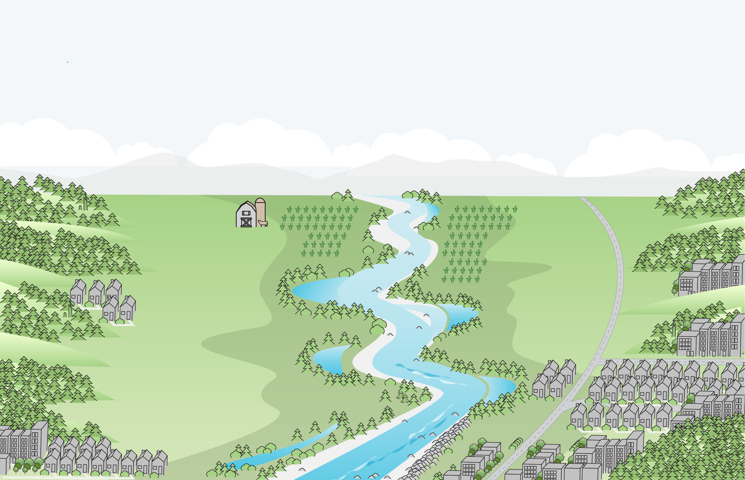
Now that you’re a levee expert, you’ll want to know all about the levee setback projects that are going on in north Puget Sound to restore floodplains and estuaries. Here’s what I learned recently when I visited three projects that are making room for juvenile fish and improving flood control.
Deming levee setback project
The Whatcom County Flood Control Zone District is building a new 850-foot-long levee setback along the Nooksack River near the town of Deming. It’s replacing an agricultural berm that experienced frequent overtopping, sending floodwaters into the town of Deming and affecting Mount Baker School District buildings, a sewage lagoon, the Deming post office, and BNSF Railroad and Nooksack Tribal buildings.
Construction on the Deming levee setback project was in full swing when Nature Conservancy Regional Ecologist Julie Morse and I stopped by in early August to visit project manager Gary Goodall from Whatcom County. Since this project is in an area where the river moves around a lot, the new setback levee has a launching toe and provides protection against much larger floods than the previous levee. The project also reconnects a tributary that was disconnected when the agricultural berm was constructed decades ago, providing off-channel habitat for juvenile salmon.
This project is a step forward in building relationships for larger-scale actions in the Nooksack floodplain. Funding includes a grant from the state Department of Ecology through the Floodplains by Design program and a grant that The Nature Conservancy obtained for floodplain and estuary restoration from the National Oceanic & Atmospheric Administration (NOAA).
Leque Island Restoration
At Leque Island, the state Department of Fish and Wildlife is restoring 250 acres of estuary just outside the town of Stanwood. Phase 1 construction is nearly complete and includes building lots of channels where juvenile salmon will hang out and grow big before hitting the wide-open waters of Puget Sound. During the next phase of construction, slated for 2019, the outer perimeter dike will be removed allowing the tides to wash in over the site. Funding includes NOAA restoration money routed through the Conservancy.
Zis a ba Estuary Restoration
The Stillaguamish Tribe is currently poised to put the finishing touches on the Zis a ba estuary project, which is just across the channel from Leque. A levee setback will restore 90 acres of estuary and tidal channels, and also includes a flood return structure that looks just like the one the Conservancy installed at our Port Susan Bay estuary restoration project. This structure jumps into action during large floods, carrying floodwater and fish from farmland back into the bay. The perimeter dike will be breached this week! Funding includes Floodplains by Design.
It's really exciting to see these projects moving forward and adding momentum to large-scale, community-supported work in the Nooksack and Stillaguamish River basins.