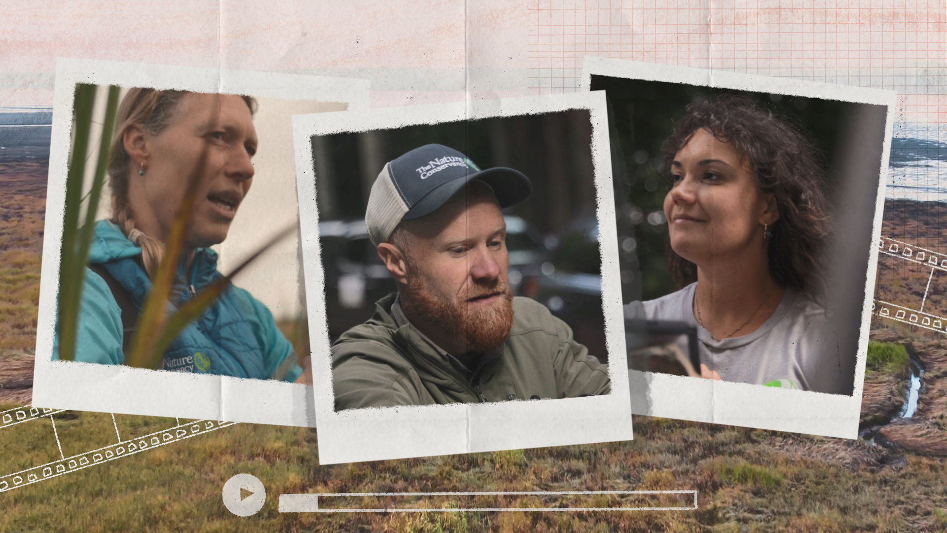
A new video promotes the hard work and commitment of Nature Conservancy scientists and collaborators who everyday provide the knowledge crucial for a future where people, lands, and waters thrive in balance.

Earth Day was born out of a movement to improve the lives of people and nature, inspiring sweeping legislative action and investments. Today, federal infrastructure funding and WA Climate Commitment Act are a continuation of this movement, investments making a tangible impact locally. As an example, Washington’s historic funding of the Floodplains by Design program is contributing to nature-based floodplain management across the state to reduce flood risk, protect communities and protect salmon habitat. These state and federal dollars are just the start of local climate action that will improve the daily lives and the future of all Washingtonians.
Meet DeAnne Hamilton: Learn how the general manager of Tacoma’s KBTC Public Television and TNC in Washington trustee, uses the power of storytelling to engage people in conservation and create a better future for the next generation.
Nestled in the cliffs in Moses Coulee is an import desert water sources that every springs attracts thousands of Pacific Tree frogs. I came to Whisper Lake for a night concert. It was anything but quiet. The chorus of frogs was soothing, calming—the quintessential sound of spring.
The Cle Elum Wildlife Project is improving our understanding of how wildlife use and move through protected forest landscapes, providing us with an opportunity to test how forest management practices impact wildlife and building an evidence base for permanent protection.
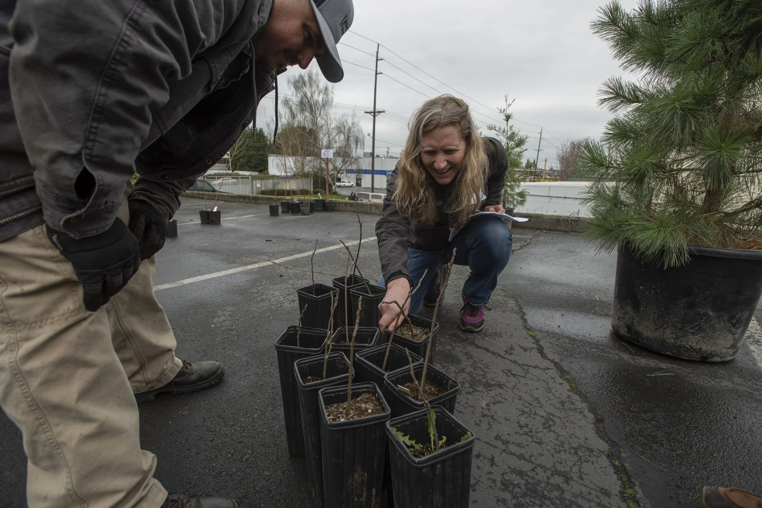
A unique research project, Greening Research in Tacoma (GRIT) brings together community partners and perspectives to paint a more detailed picture of how neighborhood residents *actually* experience green infrastructure, like tree plantings.
In partnership with the @City of Tacoma, @Tacoma Tree Foundation, and @University of Washington, GRIT’s community-minded approach will shape how we design and plan greening initiatives to be more equitable and effective for people everywhere.
Last summer, we hired four graduate interns from the University of Washington to help us learn more about the potential costs and benefits of Natural Climate Solutions in Washington: Juliana Tadano and Pascale Chamberland of the Evan School of Policy, and Lizzy Matteri and Chase Puentes of the School of Marine and Environmental Affairs.
by Erica Simek Sloniker, GIS and Visual Communications and Jamie Robertson, Spatial Analyst
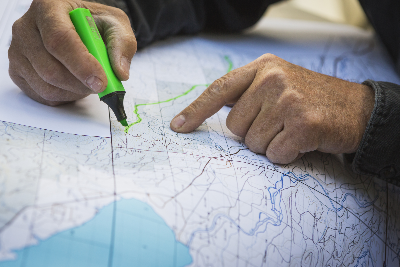
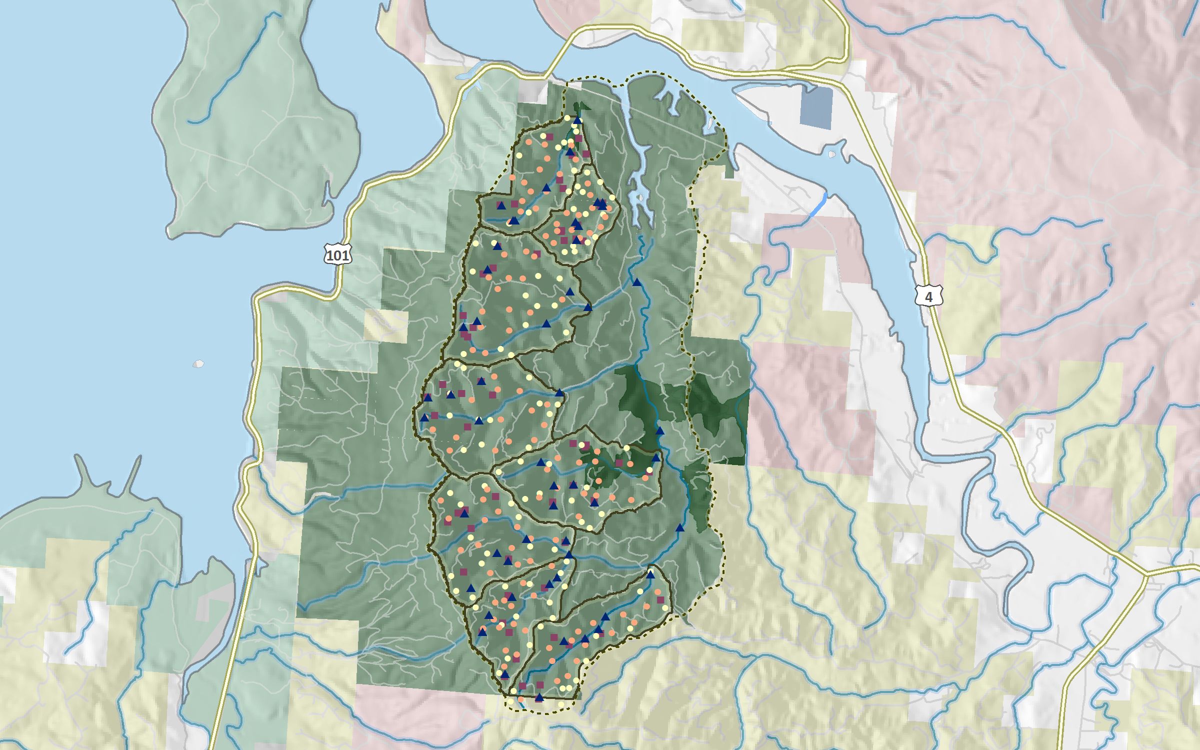
What low laying areas in this valley will flood during the next big storm? How many acres of Cascade forests need to be restored in order to prevent big, catastrophic wildfires? Where are the best elk migration corridors in our state?
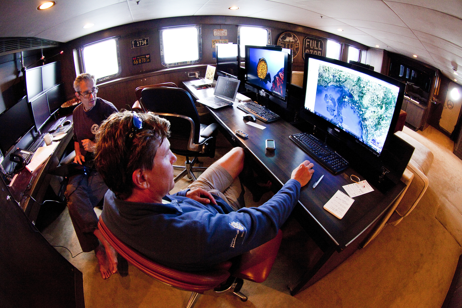
These questions, and many more, can be answered using geographic informative systems (GIS). GIS is a computer system capable of holding and using data describing places on earth’s surface. It is a powerful tool that allows us to look at the relationships of features on the landscape. With that knowledge, we can make informed decisions about the places and things we care about. Cool! Companies like Google and Microsoft have harnessed the power of GIS in tools like Google Earth, Google Maps, and Bing Maps. Federal and state agencies use GIS to catalog and analyze information from natural resources to census track data. And non-profits, like The Nature Conservancy, use GIS to help solve the toughest environmental questions of the day.
In celebration of GIS Day, November 16th, a day that celebrates the real-world applications of GIS that are making a difference in our society, two GIS professionals from our office sat down for a question and answer session to talk maps and data and to share geography stories. They invite us all to become map lovers!
Q: What is a favorite GIS project you’ve worked on recently?
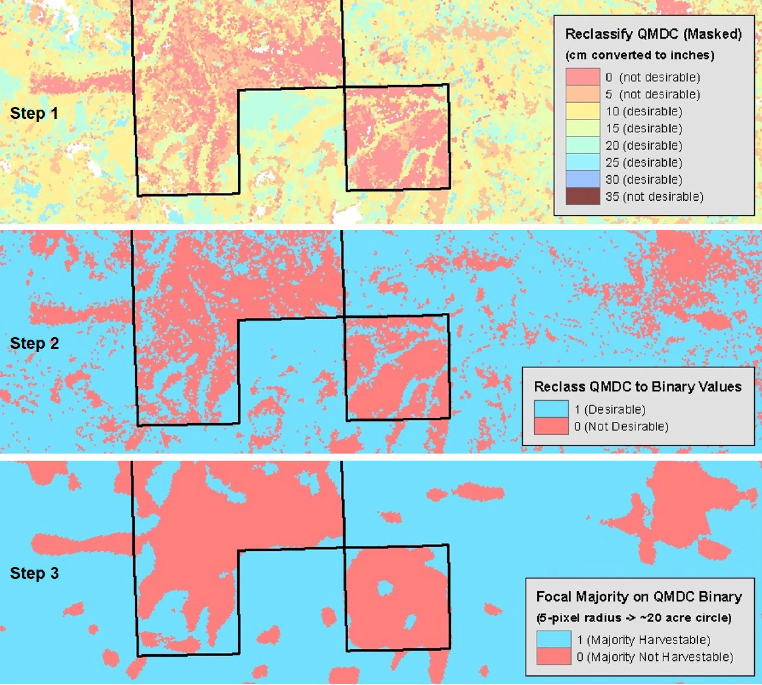
A (Jamie): An advantage to being a geographer at The Nature Conservancy is that we get to work on so many really cool projects! I’m really excited about stormwater modeling, mapping fire severity throughout the Pacific Northwest, producing numbers to help finance a timber mill project, and modelling coastal vulnerability. And, there are many things I’m leaving out. It’s like winning an Oscar and having to thank everyone I work with on these projects!
Q: Who is your inspiration?
A (Erica): I am a big fan of many past and current cartographers who focus their craft on shaded relief. Shaded relief is a method for representing the peaks and valleys on maps in a natural, aesthetic, and intuitive manner. I also admire people who create infographics with their maps and people who map new and interesting topics.
Q: First mapping memory?
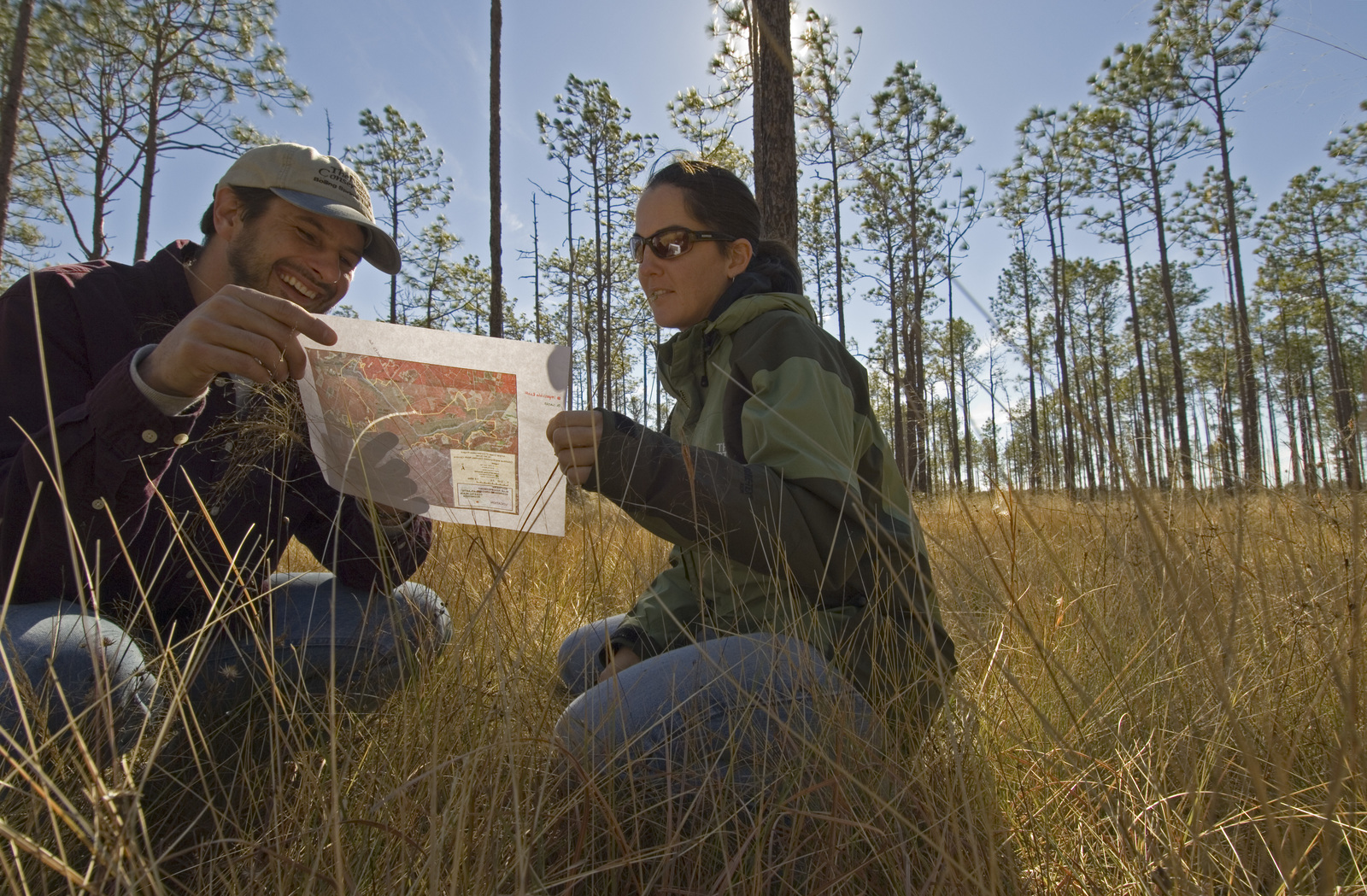
A (Jamie): In grad school, I was contracted by a land owner to map a forest being used for recreation and sustainable forestry in the Appalachian Mountains of North Carolina. I actually got paid to hike the trails and collect coordinates of all the infrastructure and points of interest! The deliverable was a poster size map, which (looking back) ended up being one of the ugliest maps I’ve ever seen.
Q: What books would you recommend for the map enthusiast?
A (Erica): Maphead by Ken Jennings (non-fiction)
A (Jamie): The Mapmakers by John Noble Wilford (non-fiction/history).
Q: How many states/countries have you stepped foot in?
A (Erica): I’ve been to 23 states and 6 countries (Canada, Mexico, Chile, Argentina, Peru, and U.S.)
A (Jamie): All states except LA, MS, Al, AK, and HI. I’ve stepped foot in Chile, Argentina, Peru, Bolivia, Ecuador, Spain, Sweden, Scotland/UK, Canada, South Africa, and China/Tibet, and the U.S., so 12 countries.
Q: What is one place you’ve mapped that you really want to go to!?
A (Jamie): Out of grad school I got a job as a GIS analyst with the National Zoo’s Conservation Research Center in Virginia. They do a lot of work in southeast Asia, and one of my big projects was mapping deforestation in Asian elephant habitat and ranges. I was particularly fascinated by the Upper Brahmaputra River Valley but never had an opportunity to go. The way the river braids and changes from year to year in the Assam area is incredible to witness via satellite imagery, but the upland forests neighboring Bhutan and Myanmar and the highlands leading towards China are what really appeal tome. Maybe someday!
Q: What are you looking forward to as a GIS professional?
A (Jamie): One fundamental thing that a GIS professional can always look forward to is discovery. Although much of the world has been mapped and the entire world is being touched in some way by humans, our senses of place and our understanding of relationships among people and nature provide an infinite world of exploration. Sounds cheesy, but I genuinely feel this way about my work.
Q: What is the power of maps?
A (Erica): Maps and spatial analysis are amazing tools at understanding our world. Not only do they communicate, explain, and reveal information, but most of us remember more through visual learning! The Nature Conservancy uses maps and spatial analysis in just about every conservation project we work on. They are powerful in answering the most pressing environmental questions of the day, which lead to positive conservation impact for both people and nature.


Finding ways to engage city kids in conservation
Written and Photographed by Jamie Robertson, Spatial Analyst
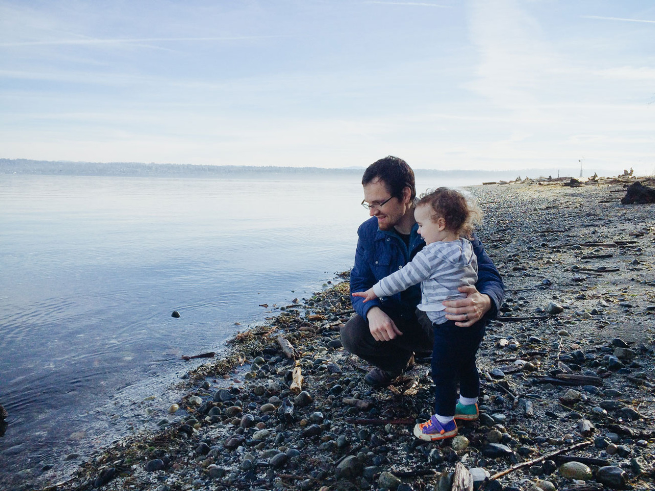
“Outside, Daddy!” demands my toddler, Rowan. She wants to be out of the house exploring the community garden, following the hoot of an owl, or surveying the bay below our Tacoma neighborhood. I hear it multiple times a day and will never tire of it. She loves being outside – out adventuring – and I wish more than anything that she always will.
Being a conservation geographer, my career and my personal life meet at a crossroads of place and a respect for the natural things supporting us in this world. As a parent whose childhood was spent freely wandering many undeveloped acres of wooded hills, playing in healthy clear creeks, and dancing around May Poles in what wasn’t quite a hippy commune but let’s call it one anyway, I recognize “place” played as large a role in shaping my sense of discovery, wanderlust, and career as the people I shared those experiences with. And Rowan’s childhood place is certainly different from my own.
My wife Courtney and I recently moved back to Washington after each discovering its lures before we even knew each other. We are from North Carolina, though we met, fell in love, and had Rowan in Colorado. Our landing in Tacoma was a surprise, but our decision to raise Rowan in this state was absolutely deliberate. As it turns out, Tacoma is arguably the prettiest city in the Pacific Northwest. Mt. Rainier looms, old growth trees tower in vast Pt. Defiance Park, the waters of Tacoma Narrows and Commencement Bay surround half the city, downtown museums and theaters provide an impressive cultural and aesthetic appeal, and beautiful Craftsman, Victorian, and Tudor homes with lush gardens spread across the steep hillsides. Despite its rough history and typical urban issues, Tacoma is a wonderful place to raise our family.
But with city living – or maybe I should say modern living – comes a struggle. How do we allow Rowan enough freedoms to discover her own paths? What is truly necessary for her to grow respect for the natural world?
Granted, my daughter is still a toddler, but finding ways to engage city kids in conservation is a necessary strategy for all people concerned with natural or urban wellbeing. I believe tomorrow’s conservationists will increasingly be born from an urban experience which differs so vastly from the back-to-nature background of so many conservationists today. Indeed, this will be necessary as urbanism will only continue to influence and control the fates of the natural world that shaped me so profoundly and which will keep our social and economic systems running well into the future. Freedom to discover outside leads to respect for nature and is fundamental to engaging all children, I believe.
In my job, discovery means mapping out the world around us to help Washington understand the natural world and the factors impacting it so we can determine collectively how to address conservation issues. As a parent, discovery means finding ways to teach Rowan skills of self-reliance and to build a foundation of confidence she will need to adventure on her own. …But for now, I’ll be sure to keep a watchful eye when she sprints out the door.
Learn more about how you can share the love of the outdoors with your kids.